About:
Work task:- Process drone and UAV images for Basemap purposes (Below 500 .jpg images)
Method:
- Fast Cloud processing using Opensource Engine.
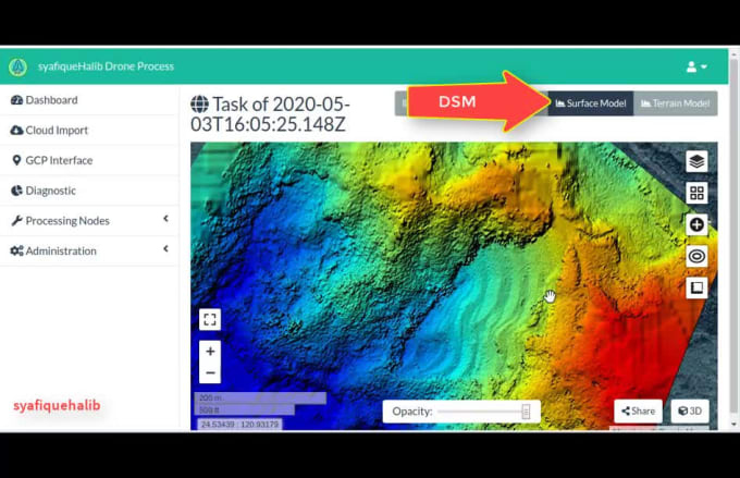
- Fast Orthophoto generation Technic and DSM
- Identify view area for proper image parameter processing (Urban or Forest Area)
- Using only EXIF for coordinate referencing
QC:
Draft output preview image will be display to you first through online interface and if agree the real process will be run for output generation.
This is because some image distortion or quality come from the source data itself ex:no calibration on camera and flight plan procedure
Output:
- 1080p map output suitable for basemap
- Small size with Highly optimize GeoTift output files (COG-Cloud Optimize Geotiff) suitable data production for image services on Geoserver and Arcgis Server for fast web access
- QGIS and Arcgis desktop compatibility format for GIS analysis.
Any inquiries please ask before ordering..
Reviews
: : : : :
Produce Orthophoto Dsm From Drone Images, Geotiff Optimization For Web Services
No comments:
Post a Comment